
Advocates Land and Property Information System
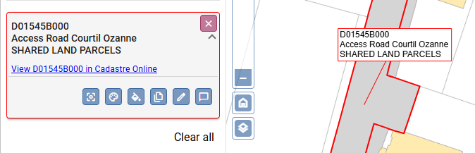
We have developed Advocates-LAPIS to provide an efficient tool set for property research and conveyancing.
Key Benefits
- Integrated: A single platform that combines access to Cadastre, mapping and production of plans
- Continuously updated: Direct connection to official government data sources
- Online: No specialist software to be installed. Access from a standard web browser and login using Digimap’s secure authorisation portal.
- Intuitive: Research and drawing tools which are designed to require minimal training for achieving efficient results.
Advanced Capabilities
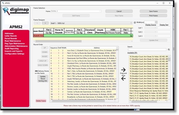
The APMS integrates Esri ArcGIS spatial systems with a relational address database. This allows post offices to store all addresses in a centralized location, manage postal rounds, and automatically produce labels for postal sorting frames (RM2000’s). The system applies colour coding and specialized algorithms to ensure maximum efficiency in labelling.
Additionally, APMS offers a suite of powerful modules for various operational needs:
APMS Features
- OCR Export: Exports rounds in walk order via CSV for OCR processing.
- CRM Export: Provides address details in CSV format.
- Postcode Finder: Exports address details based on postcode searches.
- Parcel Routes: Enables round sorting and creation, address viewing, and identification of delivery points.
- Secure Drop: Manages safety hazards, access codes, and GPS coordinates for secure parcel drop locations. Includes an audit trail.
- Batch Sortplan Setup: Facilitates the creation of batch plans for LSM sorting layouts.
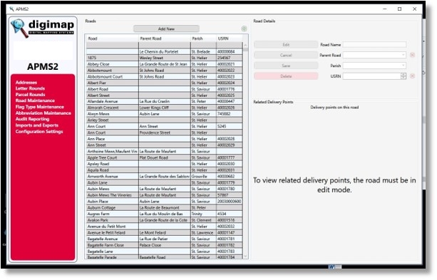
- Delivery Management: Supports address search, creation, and sorting. Also handles frame labeling, audit trails, name changes, round management, frame optimization, resequencing deliveries, and PO Box management.
System Integration
- Mapping: Uses Esri ArcGIS software to plot delivery routes and points.
- Routesmart Integration: Provides import/export functionality to integrate delivery data with mapping systems using X, Y coordinates.
Need a tailored solution for your delivery project?
Contact us to explore how Digimap can support your goals.