Mapping
As partners of the Channel Island governments, we supply up to date and accurate mapping data in a variety of formats. It is also available through our online products, Esri GIS software and bespoke software.
In addition to commercial products, we provide free access to community interest maps of Guernsey, including :
- historic maps
- 1945 aerial photography of Guernsey and Alderney
- marine and coastal place names
For the full list, please visit maps.digimap.gg.
The Jersey public may also be embedded in your website at no cost. Please contact us for more details.

Address Locator
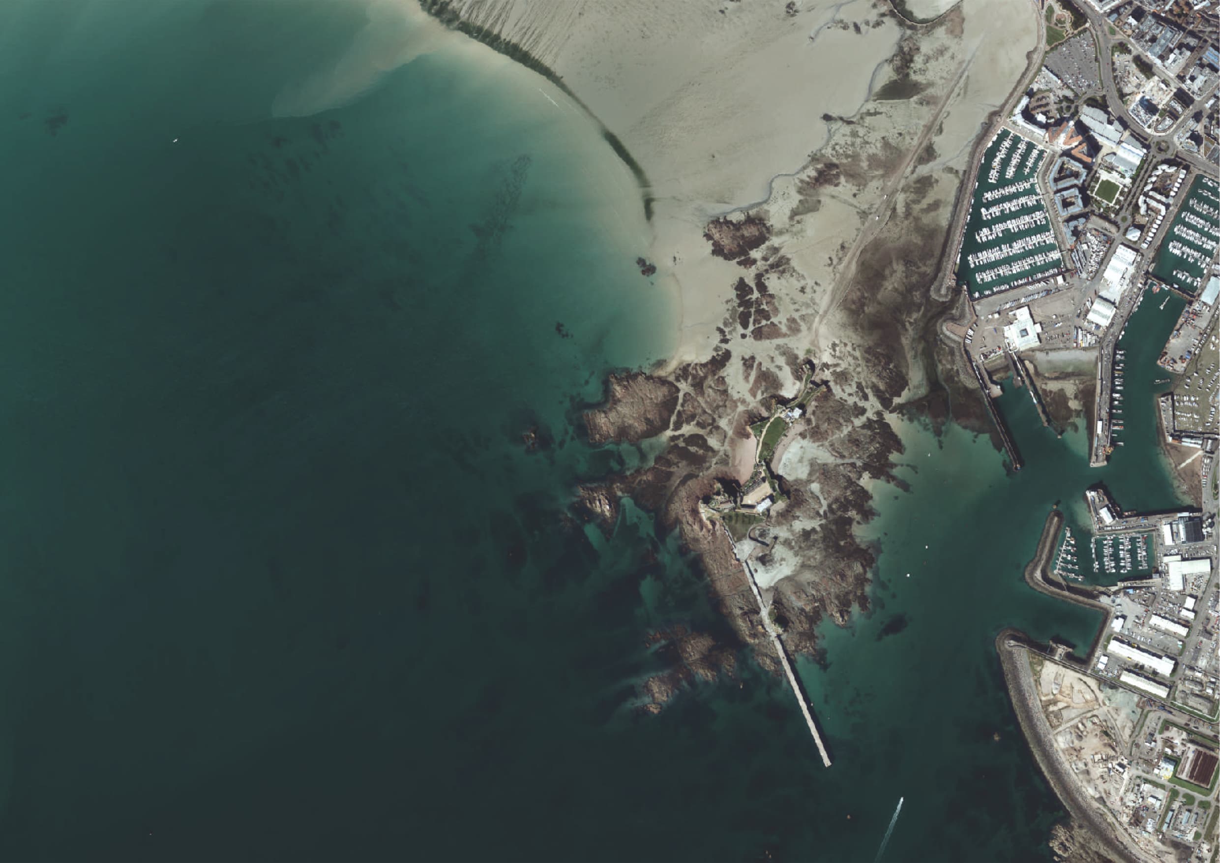
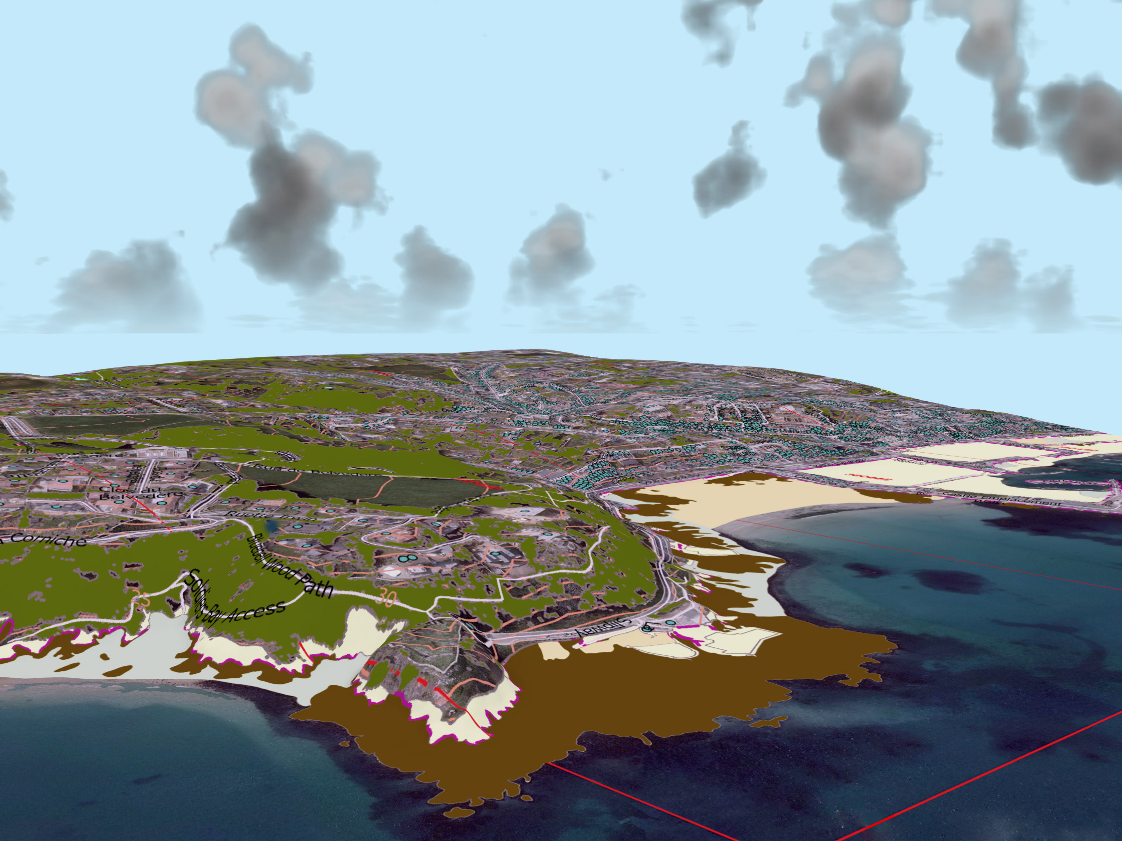
Aerial Imagery
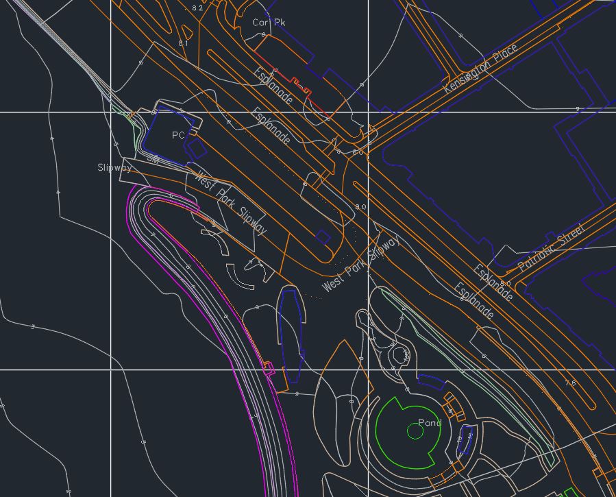
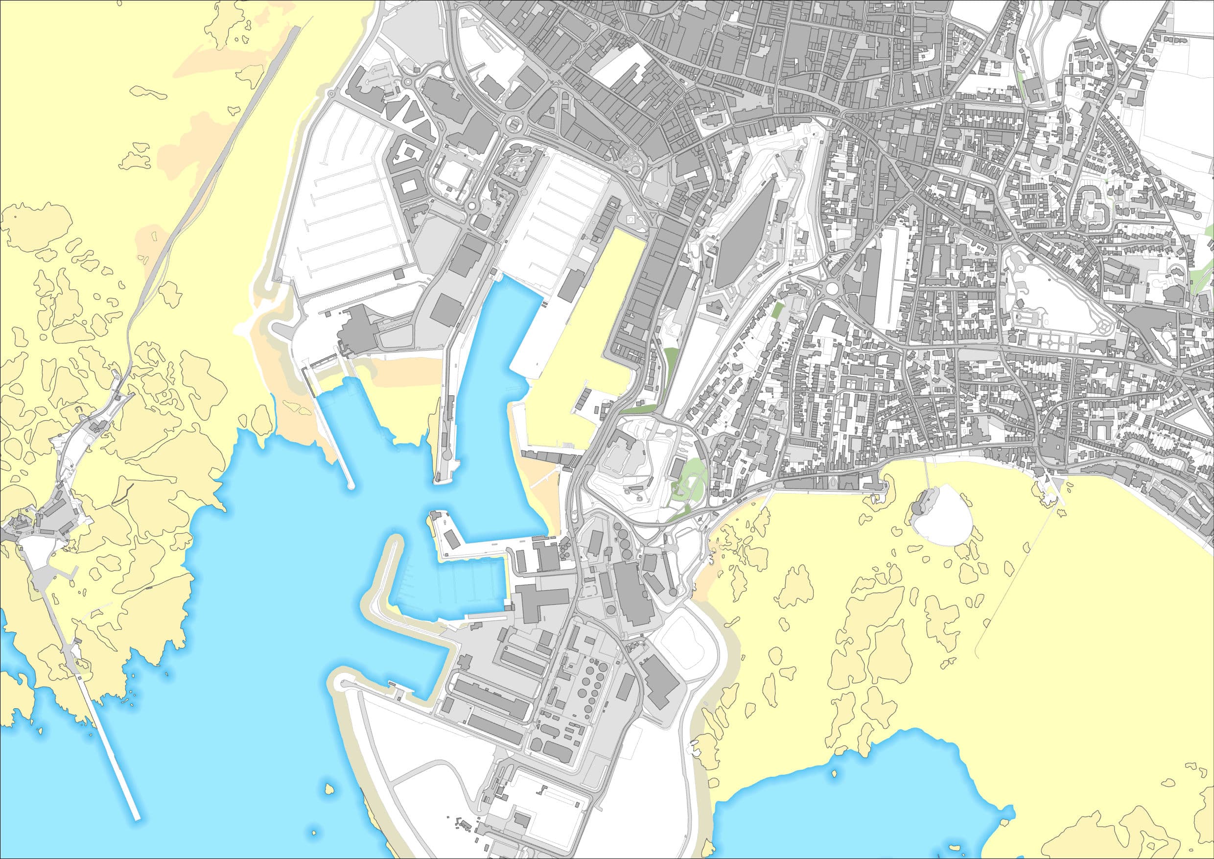
Base mapping

Bespoke maps
Marine
GIS
We provide mapping products in a range of formats. For customers interested in specific areas of the Channel Islands, map ’tiles’ may be more cost-effective than purchasing full coverage. Tile reference numbers are here: Bailiwick of Guernsey Tile Grid and Jersey Tile Grid.