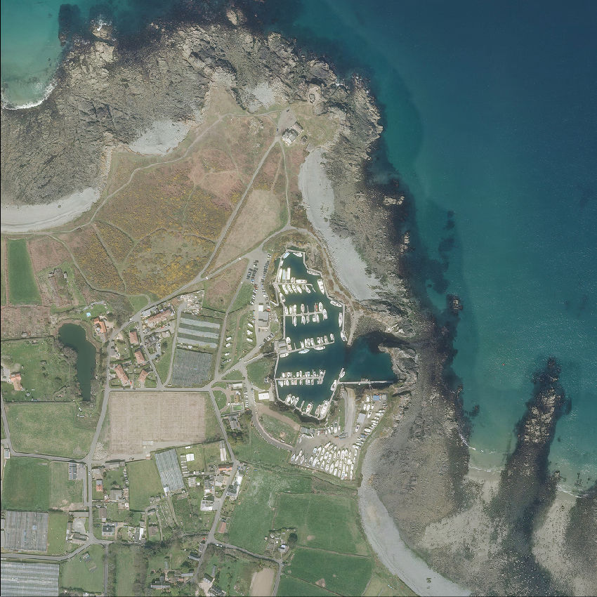
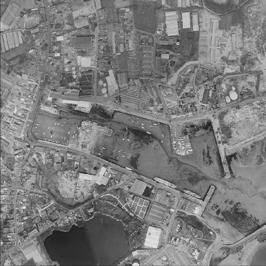
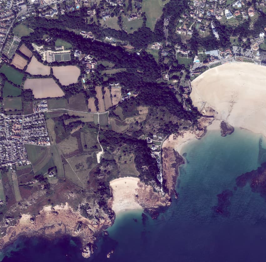
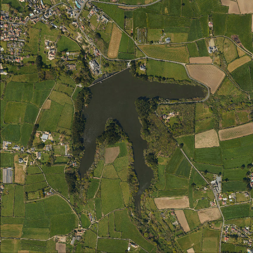
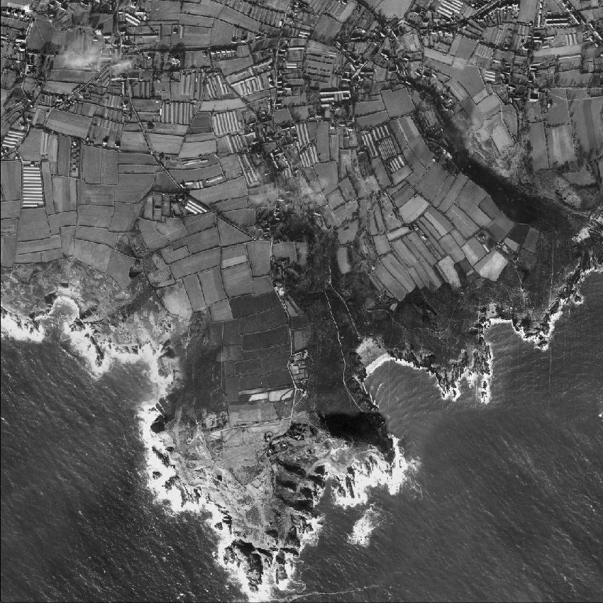
Aerial Images
Our aerial images sets have been processed for seamless use with a range of mapping and GIS software.
We provide aerial imagery of any area of the Channel Islands in digital or printed format.


We have a range of pricing models depending on whether customers wish to purchase a whole dataset or one-off images of specific areas, such as our bespoke maps.
Aerial images have been captured over several years:
For Jersey, fully orthorectified images are available from annual surveys undertaken since 2006 and we have datasets for 2003 and 1997.
For the Bailiwick of Guernsey, fully orthorectified images have been captured on a regular basis since 1996, and we have datasets from occasional surveys before this period, going back to 1945. We can also supply unrectified archive photography captured during various surveys between 1957 and 1988.
More details, including the dates, of the data we hold are available here, or please contact us to discuss your requirements.