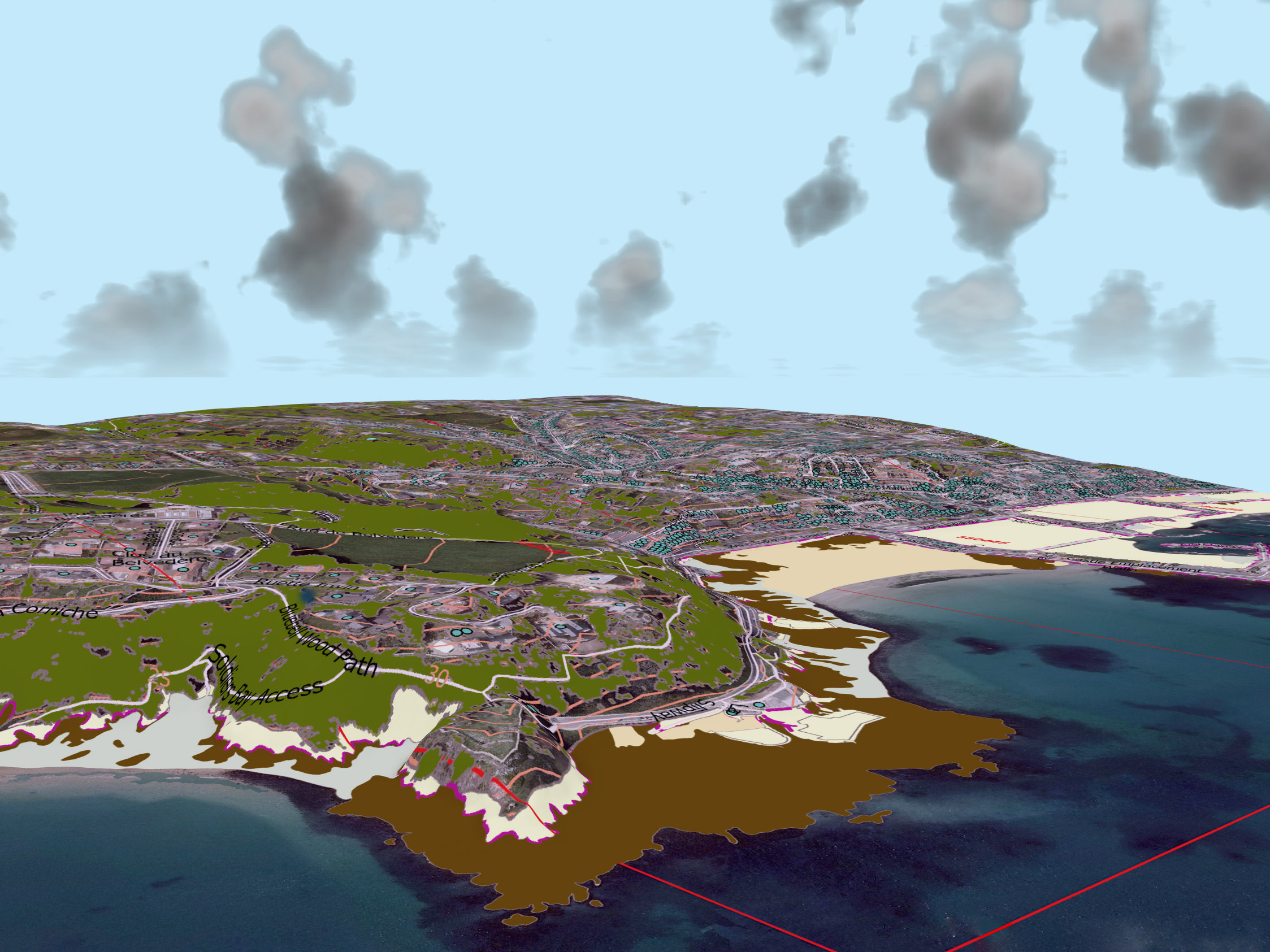
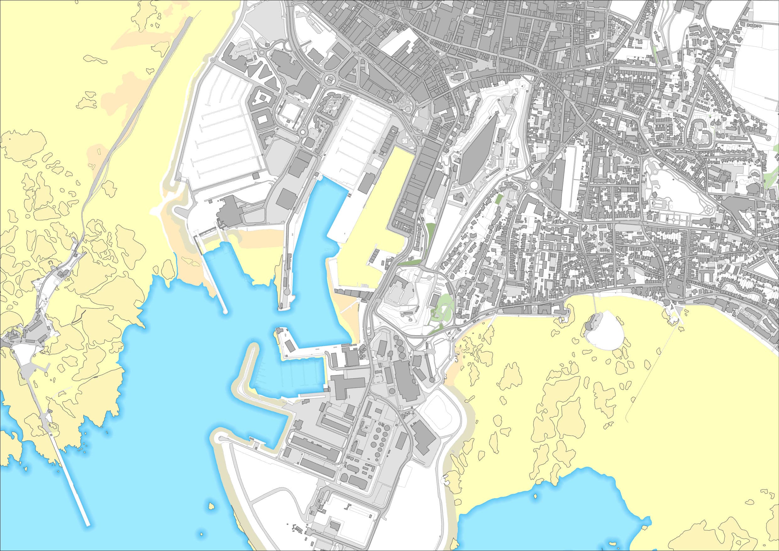
Mapping
As partners of the Channel Island governments, we supply up to date and accurate mapping data in a variety of formats. Our mapping data is also available through our online products, Esri GIS software and bespoke software.
In addition to our commercial products, we also provide some free-of-charge maps of Guernsey that we hope will interest the community, please see: maps.digimap.gg.

Address Locator
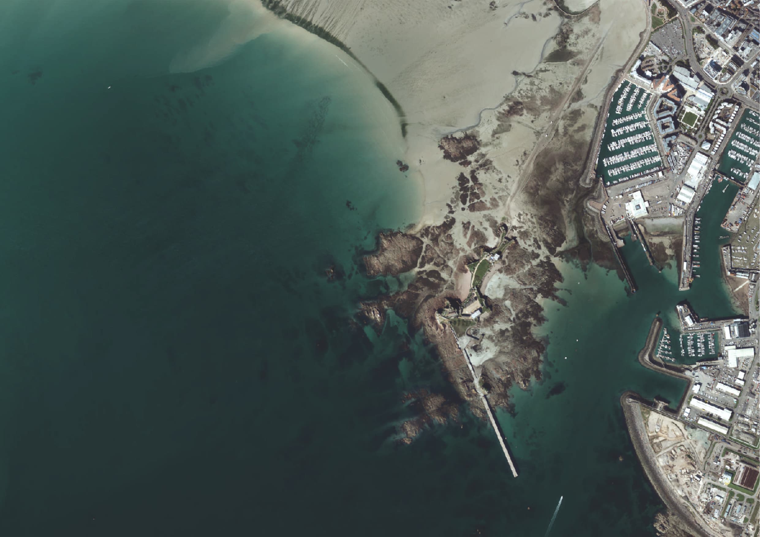
Aerial Imagery
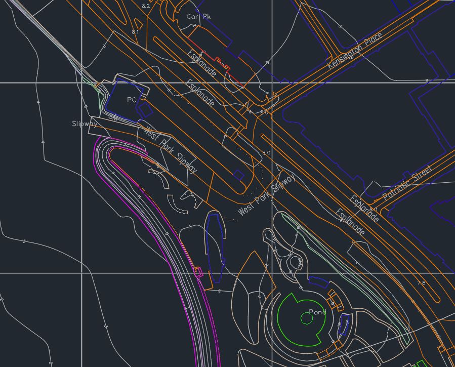
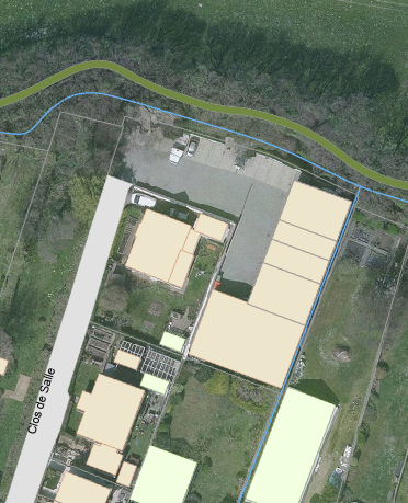
Base mapping

Bespoke maps
Marine
GIS
We provide mapping products in a range of formats. For customers interested in specific areas of the Channel Islands, map ’tiles’ may be more cost-effective than purchasing full coverage. Tile reference numbers are here: Bailiwick of Guernsey Tile Grid and Jersey Tile Grid.