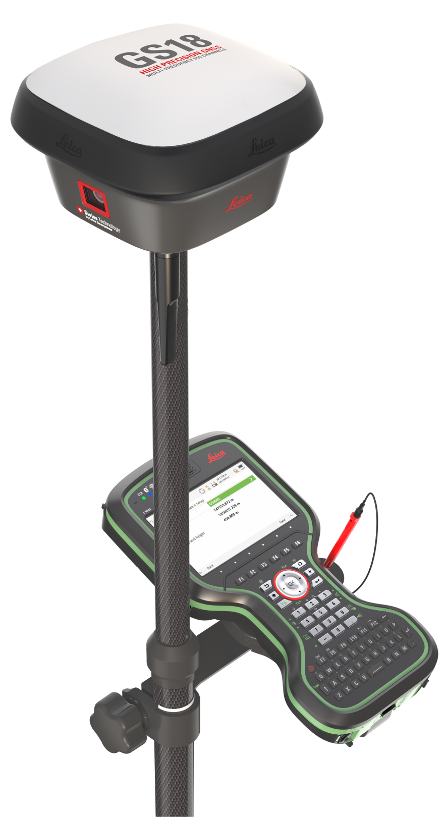
Differential GPS Correction Service
Digimap operate this service on behalf of the States of Guernsey and Government of Jersey. It provides architects, surveyors, utilities and construction companies with positional accuracy of 1-2cm. Clients with their own survey equipment may purchase short and long term licences.
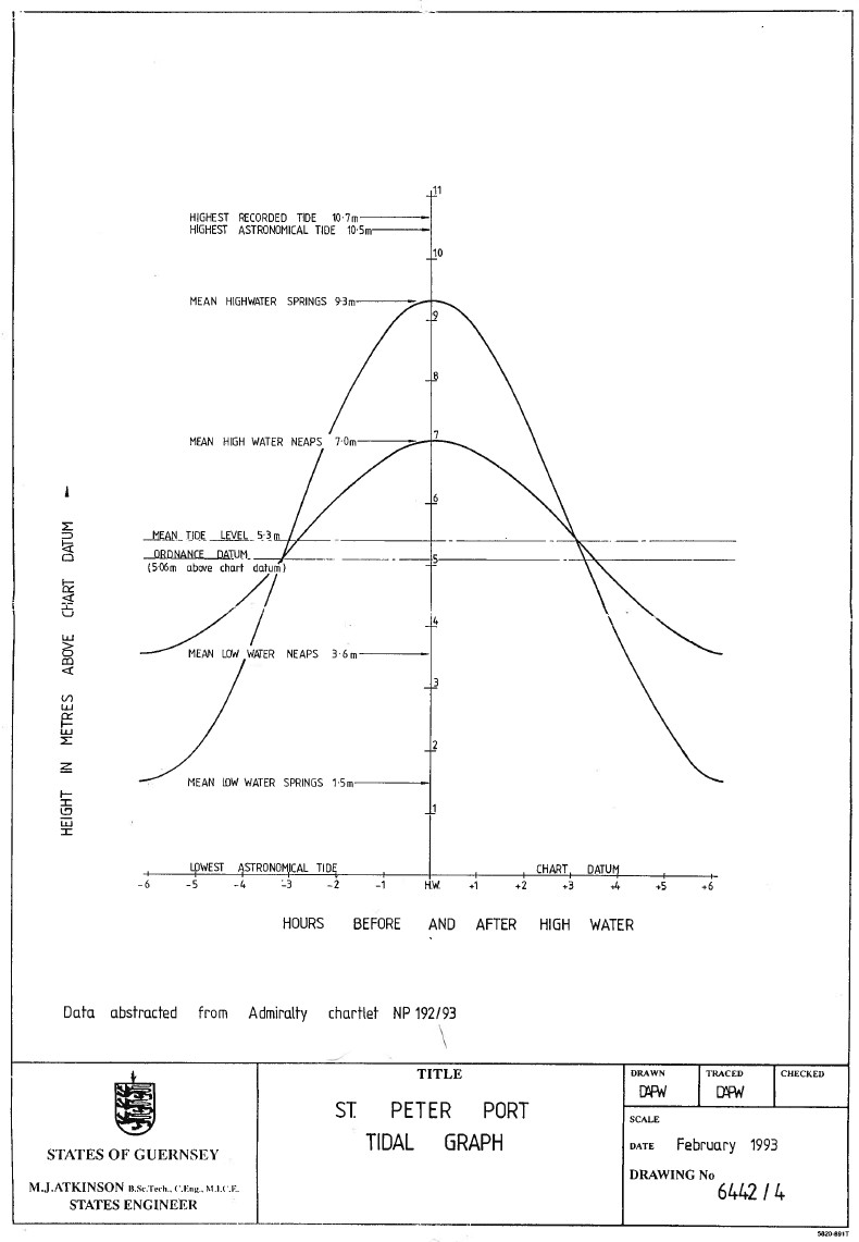
Chart Datum
Conversion between Chart Datum (CD) and Jersey Transverse Mercator (JTM) is:
CD = JTM + 5.8932 m (or 19.3307 ft)
This information was kindly provided by the Government of Jersey.
For details of the Guernsey Chart Datum please see the St Peter Port tidal curve.
Planning to bring your own survey equipment to the Channel Islands?
Please be aware:
Guernsey and Jersey use their own coordinate systems.
The Channel Islands are not covered by the Leica SmartNet RTK service.
NTRIP transmission of the correction signal is not available in the Channel Islands.
Please contact us in advance to ensure that we are able to meet your requirements.