Bespoke Maps
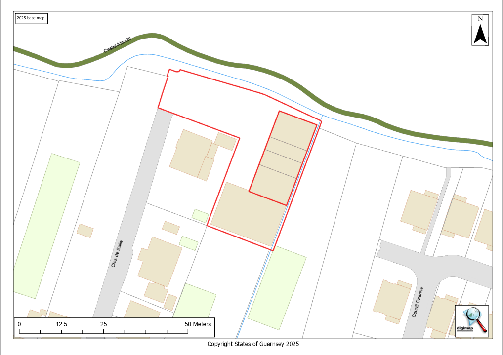
Our digital maps of the Channel Islands cover the landmasses and inshore waters. Through our partnership with the governments of Guernsey and Jersey, the base map is updated regularly to reflect changes to terrain, roads, vegetation and buildings.
We can provide bespoke plans which are based upon maps, CAD drawings or aerial photography. As well as up to date imagery, we also have aerial photos of selected areas going back several decades, and geo-referenced images of paper maps that go back to the 1800s.
The maps can be provided in digital or hard copy up to A1 size. We are familiar with producing plans in the format required for planning applications.
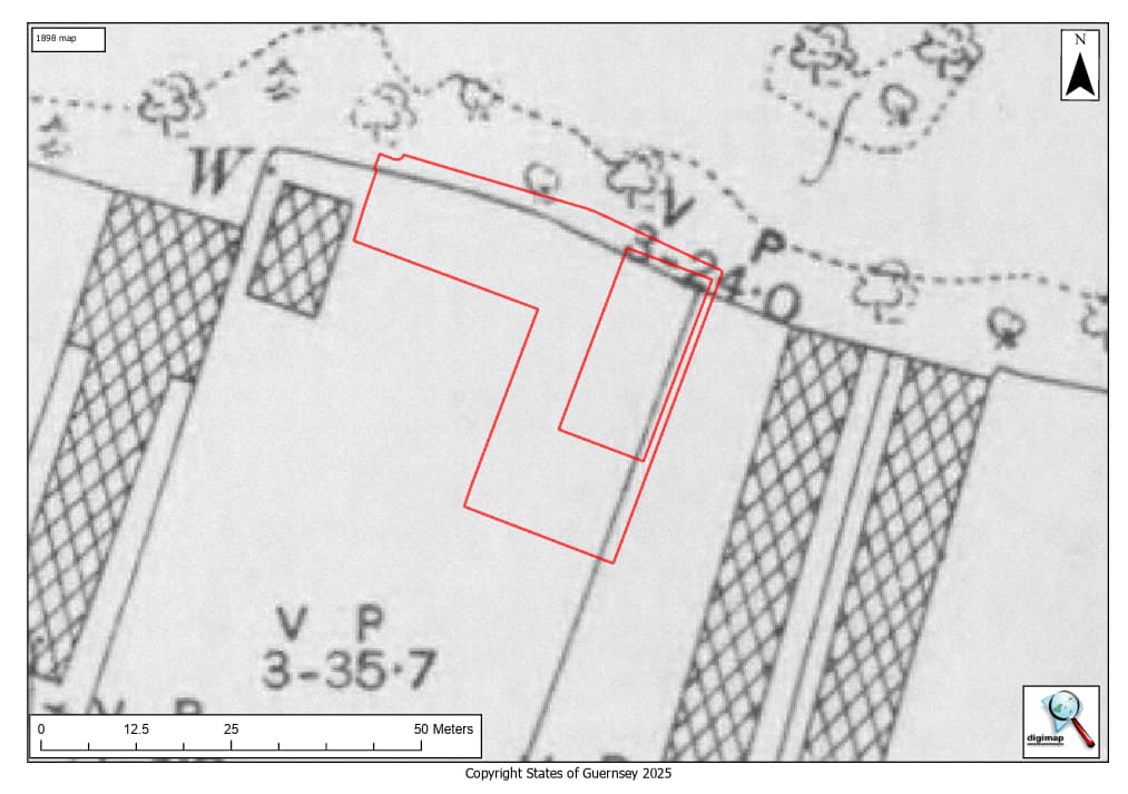
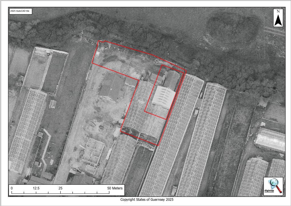
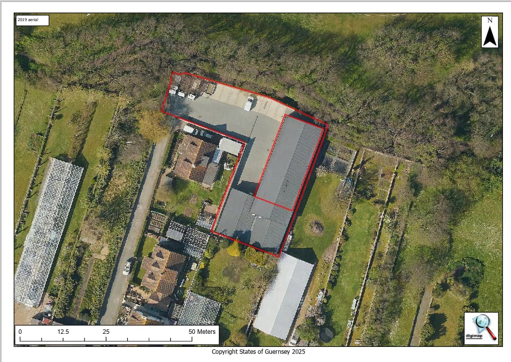
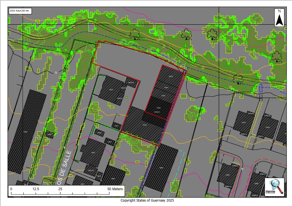
More details, including the dates, of the data we hold are available here, or please contact us to discuss your requirements.