Building and Construction
Digimap enables every step of the construction process
Our 2D and 3D mapping data and aerial photography is used by planners and architects.
We sell or rent survey equipment, and we provide a differential correction signal for customers with their own instruments.
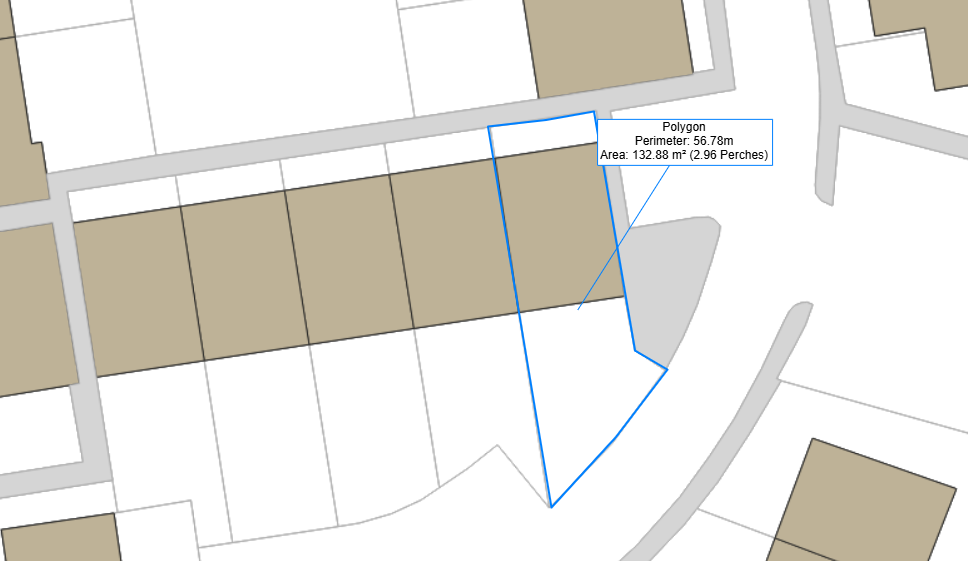
In Guernsey, estate agents and surveyors use our cadastral software to support their property transactions.