Case Study: Transforming Guernsey’s Cadastre System
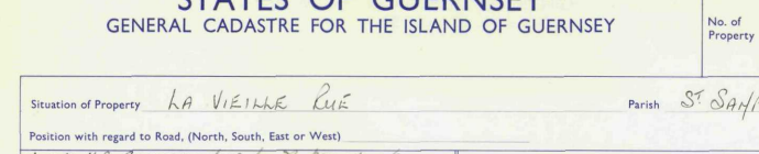
Client: States of Guernsey
Partner: Digimap
Challenge
The States of Guernsey needed to replace their legacy Cadastre system to support the evolving Tax and Real Property (TRP) programme. The goal was to modernize property measurement and taxation, ensuring consistency, transparency, and cost-efficiency. The TRP programme has since become a significant revenue stream, generating £45 million annually.
Objectives
- Reduce administrative costs compared to the legacy system
- Ensure robustness and transparency
- Standardize property measurement across the board
- Prioritize plan view measurements; internal measurements only by exception
- Apply a clear valuation model:
- 1 sq m = 1 unit value
- Detached outbuildings <10 sq m exempt from TRP
- Land charged at 50 sq m = 1 unit value
Solution
Digimap developed a modern, digital Cadastre system that met all core requirements and extended functionality beyond initial expectations. Key features include:
- Online Cadastre Access:
Subscribers can search for titles, deeds, and plans with ease. - Parish Rate Management:
A dedicated solution enables Parishes to digitally administer and manage their own rates, streamlining local governance.
Approach
The project was delivered through a collaborative and iterative process, working closely with the Cadastre and Government Mapping Services teams. This ensured continuous alignment with project goals and allowed for real-time testing and refinement.
Innovation & Integration
The solution fused multiple data sources:
- Official States of Guernsey mapping data
- CAF address data
- Digitized legacy records
These were combined with modern digital processes to create a robust, scalable, and future-proof system.
Interested in a Cadastre or Land Registry Solution?
Please contact us to explore how Digimap can help you modernize your land and property systems.