Base mapping
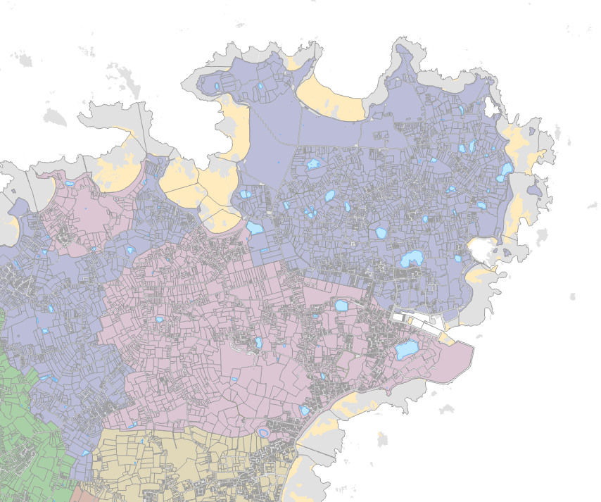
Our digital maps of the Channel Islands cover landmasses and inshore waters.
Digimap distributes the official base maps under licences from the Government of Jersey and States of Guernsey. Maintained by dedicated government mapping teams, the base maps are continuously updated to reflect changes to terrain, roads, vegetation, buildings and land use across the Channel Islands.
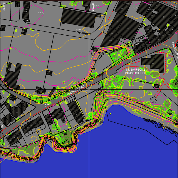
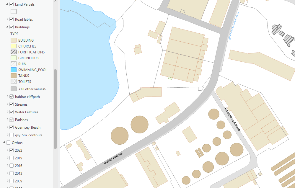
We provide this data in digital formats that are compatible with most CAD and GIS software, as well as bespoke hard copy products.
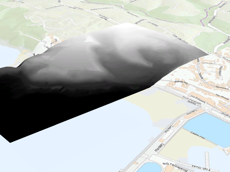
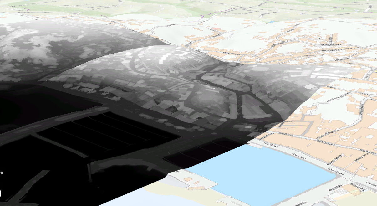
Our 3D datasets include terrain (DTM) and surface models (DSM) derived from photogrammetry and LiDAR.
We have a range of pricing models. For customers interested in CAD applications for specific areas, purchasing a DWG file, DTM or DSM data in a ’tile’ may be the most cost-effective approach. These sites provides a helpful way to look up the tile reference number: Bailiwick of Guernsey Tile Grid and Jersey Tile Grid.
More details, including the dates, of the data we hold are available here, or please contact us to discuss your requirements.